Keir Hardie Wynd, Methil
Introduction
The photograph on this page of Keir Hardie Wynd, Methil by Bill Kasman as part of the Geograph project.
The Geograph project started in 2005 with the aim of publishing, organising and preserving representative images for every square kilometre of Great Britain, Ireland and the Isle of Man.

There are currently over 7.5m images from over 14,400 individuals and you can help contribute to the project by visiting https://www.geograph.org.uk
Keir Hardie Wynd, Methil
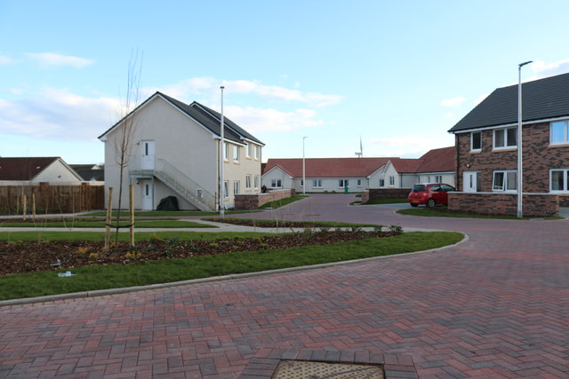
Image: © Bill Kasman Taken: 19 Mar 2020
This new development is built on the site of former Fife Council premises.
Images are licensed for reuse under creativecommons.org/licenses/by-sa/2.0
Image Location
Latitude
56.185267
Longitude
-3.019798