(Covid-19_10 Exercise) The Mardike by Bridleway 219
Introduction
The photograph on this page of (Covid-19_10 Exercise) The Mardike by Bridleway 219 by Glyn Baker as part of the Geograph project.
The Geograph project started in 2005 with the aim of publishing, organising and preserving representative images for every square kilometre of Great Britain, Ireland and the Isle of Man.

There are currently over 7.5m images from over 14,400 individuals and you can help contribute to the project by visiting https://www.geograph.org.uk
(Covid-19_10 Exercise) The Mardike by Bridleway 219
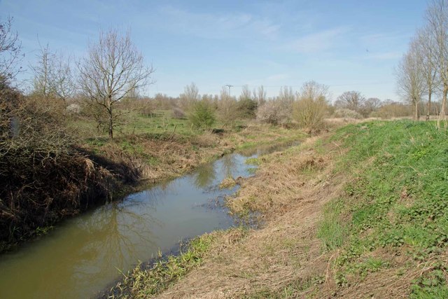
Image: © Glyn Baker Taken: 24 Mar 2020
The right of way is on top of the bank this is looking upstream. To go to the start of this journey see Image or for the next square see Image
Images are licensed for reuse under creativecommons.org/licenses/by-sa/2.0
Image Location
Latitude
51.505278
Longitude
0.31812