(Covid-19_3 Exercise) Path by Hangman's Wood
Introduction
The photograph on this page of (Covid-19_3 Exercise) Path by Hangman's Wood by Glyn Baker as part of the Geograph project.
The Geograph project started in 2005 with the aim of publishing, organising and preserving representative images for every square kilometre of Great Britain, Ireland and the Isle of Man.

There are currently over 7.5m images from over 14,400 individuals and you can help contribute to the project by visiting https://www.geograph.org.uk
(Covid-19_3 Exercise) Path by Hangman's Wood
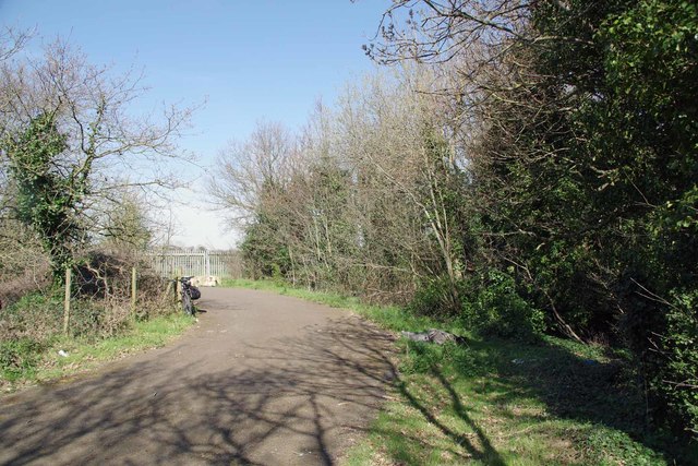
Image: © Glyn Baker Taken: 24 Mar 2020
Hangman's Wood is privately owned with no public access; you can gain access to a fishing lake by this path - see Image To go to the start of this trip visit Image; to go to the next square see Image
Images are licensed for reuse under creativecommons.org/licenses/by-sa/2.0
Image Location
Latitude
51.500993
Longitude
0.270497