Wooley Lane
Introduction
The photograph on this page of Wooley Lane by Nigel Mykura as part of the Geograph project.
The Geograph project started in 2005 with the aim of publishing, organising and preserving representative images for every square kilometre of Great Britain, Ireland and the Isle of Man.

There are currently over 7.5m images from over 14,400 individuals and you can help contribute to the project by visiting https://www.geograph.org.uk
Wooley Lane
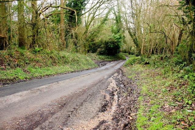
Image: © Nigel Mykura Taken: 6 Mar 2020
Wooley lane runs from Oxenford cross roads to Knowle St Giles. This is where its steep hill passes down through the woods of Barryatt Copse on the right and Littlewood Copse on the left.
Images are licensed for reuse under creativecommons.org/licenses/by-sa/2.0
Image Location
Latitude
50.906402
Longitude
-2.914869