Stand of Maize at Barryatts Copse
Introduction
The photograph on this page of Stand of Maize at Barryatts Copse by Nigel Mykura as part of the Geograph project.
The Geograph project started in 2005 with the aim of publishing, organising and preserving representative images for every square kilometre of Great Britain, Ireland and the Isle of Man.

There are currently over 7.5m images from over 14,400 individuals and you can help contribute to the project by visiting https://www.geograph.org.uk
Stand of Maize at Barryatts Copse
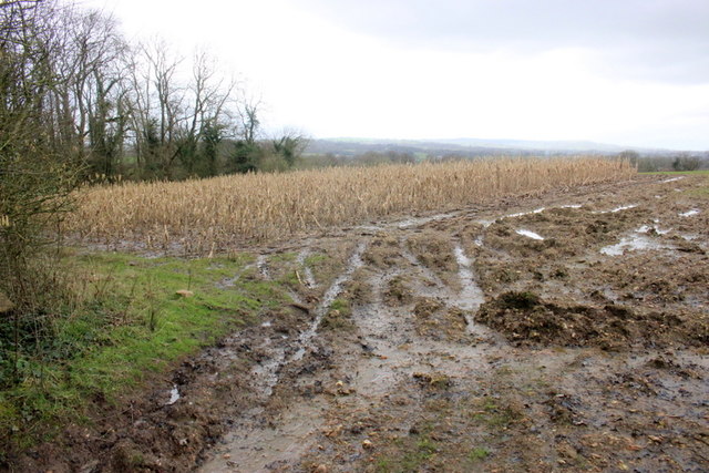
Image: © Nigel Mykura Taken: 6 Mar 2020
The copse is only a short distance from the crossroads known as mary Hun's Grave. Most maize stands such as this one are used for winter cover for game birds to provide cover and feed.
Images are licensed for reuse under creativecommons.org/licenses/by-sa/2.0
Image Location
Latitude
50.906757
Longitude
-2.915445