All Saints church, Kingston Seymour
Introduction
The photograph on this page of All Saints church, Kingston Seymour by Neil Owen as part of the Geograph project.
The Geograph project started in 2005 with the aim of publishing, organising and preserving representative images for every square kilometre of Great Britain, Ireland and the Isle of Man.

There are currently over 7.5m images from over 14,400 individuals and you can help contribute to the project by visiting https://www.geograph.org.uk
All Saints church, Kingston Seymour
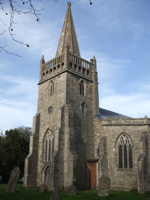
Image: © Neil Owen Taken: 21 Mar 2020
The village church dates from perhaps the fourteenth century, although the font inside is closer to Norman period. In 1607 a massive inundation of the Bristol Channel led to widespread flooding and loss (thought to have possibly been a tsunami). The church was deluged and a mark records the depth of flooding - 7.74 metres (25.4 ft).
Images are licensed for reuse under creativecommons.org/licenses/by-sa/2.0
Image Location


Leaflet Map data © OpenStreetMap
Latitude
51.397413
Longitude
-2.862824