Angouleme Way
Introduction
The photograph on this page of Angouleme Way by Gerald England as part of the Geograph project.
The Geograph project started in 2005 with the aim of publishing, organising and preserving representative images for every square kilometre of Great Britain, Ireland and the Isle of Man.

There are currently over 7.5m images from over 14,400 individuals and you can help contribute to the project by visiting https://www.geograph.org.uk
Angouleme Way
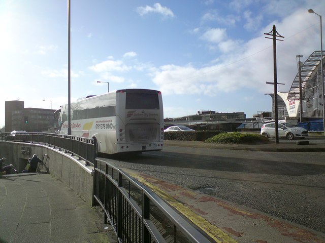
Image: © Gerald England Taken: 8 Feb 2020
The A58 bypasses Bury town centre on a dual-carriage named after the town in France with which it is twinned. Pedestrians need to use a subway to access the market Image
Images are licensed for reuse under creativecommons.org/licenses/by-sa/2.0
Image Location


Leaflet Map data © OpenStreetMap
Latitude
53.590988
Longitude
-2.293501