Unnamed circular stand of trees southeast of Boothby Pagnell: aerial 2020 (1)
Introduction
The photograph on this page of Unnamed circular stand of trees southeast of Boothby Pagnell: aerial 2020 (1) by Chris as part of the Geograph project.
The Geograph project started in 2005 with the aim of publishing, organising and preserving representative images for every square kilometre of Great Britain, Ireland and the Isle of Man.

There are currently over 7.5m images from over 14,400 individuals and you can help contribute to the project by visiting https://www.geograph.org.uk
Unnamed circular stand of trees southeast of Boothby Pagnell: aerial 2020 (1)
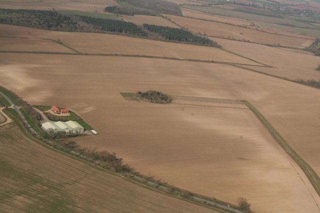
Image: © Chris Taken: 22 Mar 2020
One of several. This one is near Boothby Lodge Farm. See also Image] and Image
Images are licensed for reuse under creativecommons.org/licenses/by-sa/2.0
Image Location
Latitude
52.86284
Longitude
-0.541464