Roborough Road passing a new development on Trayne Farm
Introduction
The photograph on this page of Roborough Road passing a new development on Trayne Farm by Roger A Smith as part of the Geograph project.
The Geograph project started in 2005 with the aim of publishing, organising and preserving representative images for every square kilometre of Great Britain, Ireland and the Isle of Man.

There are currently over 7.5m images from over 14,400 individuals and you can help contribute to the project by visiting https://www.geograph.org.uk
Roborough Road passing a new development on Trayne Farm
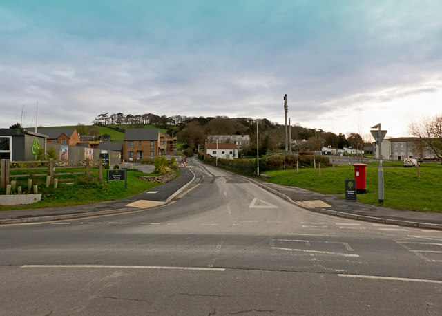
Image: © Roger A Smith Taken: 20 Mar 2020
See also: Image
Images are licensed for reuse under creativecommons.org/licenses/by-sa/2.0
Image Location


Leaflet Map data © OpenStreetMap
Latitude
51.095103
Longitude
-4.052361