Hall Close, moated site at Scredington: aerial 2020
Introduction
The photograph on this page of Hall Close, moated site at Scredington: aerial 2020 by Chris as part of the Geograph project.
The Geograph project started in 2005 with the aim of publishing, organising and preserving representative images for every square kilometre of Great Britain, Ireland and the Isle of Man.

There are currently over 7.5m images from over 14,400 individuals and you can help contribute to the project by visiting https://www.geograph.org.uk
Hall Close, moated site at Scredington: aerial 2020
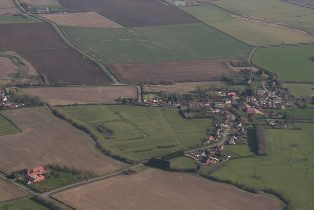
Image: © Chris Taken: 22 Mar 2020
There were 5 moated sites at Scredington, one of which is Hall Close, a large medieval homestead surrounded by deserted tofts and crofts: https://ancientmonuments.uk/116742-hall-close-moated-manorial-complex-scredington#.XnjReXLgqUk Two of the others are/were: Hambleton Moat, destroyed in 1959: https://www.lincstothepast.com/Hambleton-Moat--Scredington/230117.record?pt=S ; Thorny Close, at Northbeck (off shot top left): http://www.roffe.co.uk/earthworks/moats/scredington.htm
Images are licensed for reuse under creativecommons.org/licenses/by-sa/2.0
Image Location
Latitude
52.952803
Longitude
-0.37306