Garage block on north side of Selsey Road
Introduction
The photograph on this page of Garage block on north side of Selsey Road by phil Richards as part of the Geograph project.
The Geograph project started in 2005 with the aim of publishing, organising and preserving representative images for every square kilometre of Great Britain, Ireland and the Isle of Man.

There are currently over 7.5m images from over 14,400 individuals and you can help contribute to the project by visiting https://www.geograph.org.uk
Garage block on north side of Selsey Road
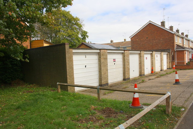
Image: © phil Richards Taken: 12 Sep 2019
Ordnance Survey records indicate that in 1983 there was a benchmark levelled at 120.135m above Newlyn Datum on the front face of the near end wall of the block. This end wall appears to have been rebuilt using different bricks than used elsewhere on the block with the loss of the mark
Images are licensed for reuse under creativecommons.org/licenses/by-sa/2.0
Image Location
Latitude
52.486222
Longitude
-0.727588