Moor Cottage
Introduction
The photograph on this page of Moor Cottage by alan souter as part of the Geograph project.
The Geograph project started in 2005 with the aim of publishing, organising and preserving representative images for every square kilometre of Great Britain, Ireland and the Isle of Man.

There are currently over 7.5m images from over 14,400 individuals and you can help contribute to the project by visiting https://www.geograph.org.uk
Moor Cottage
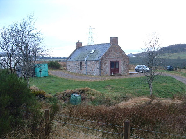
Image: © alan souter Taken: 28 Dec 2007
Once a farm worker's cottage it was later use as a farm storage area. Recent renovation has turned it into a dwelling again.
Images are licensed for reuse under creativecommons.org/licenses/by-sa/2.0
Image Location


Leaflet Map data © OpenStreetMap
Latitude
57.434042
Longitude
-3.29482