Disused land, Benfield Road, Walkergate
Introduction
The photograph on this page of Disused land, Benfield Road, Walkergate by Graham Robson as part of the Geograph project.
The Geograph project started in 2005 with the aim of publishing, organising and preserving representative images for every square kilometre of Great Britain, Ireland and the Isle of Man.

There are currently over 7.5m images from over 14,400 individuals and you can help contribute to the project by visiting https://www.geograph.org.uk
Disused land, Benfield Road, Walkergate
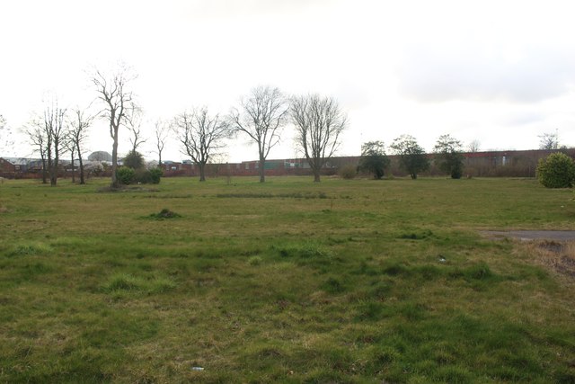
Image: © Graham Robson Taken: 20 Mar 2020
The former site of the Walkergate Hospital. The long cleared site now has a green, grassy cover.
Images are licensed for reuse under creativecommons.org/licenses/by-sa/2.0
Image Location
Latitude
54.9878
Longitude
-1.560836