Elridgside Wood
Introduction
The photograph on this page of Elridgside Wood by M J Richardson as part of the Geograph project.
The Geograph project started in 2005 with the aim of publishing, organising and preserving representative images for every square kilometre of Great Britain, Ireland and the Isle of Man.

There are currently over 7.5m images from over 14,400 individuals and you can help contribute to the project by visiting https://www.geograph.org.uk
Elridgside Wood
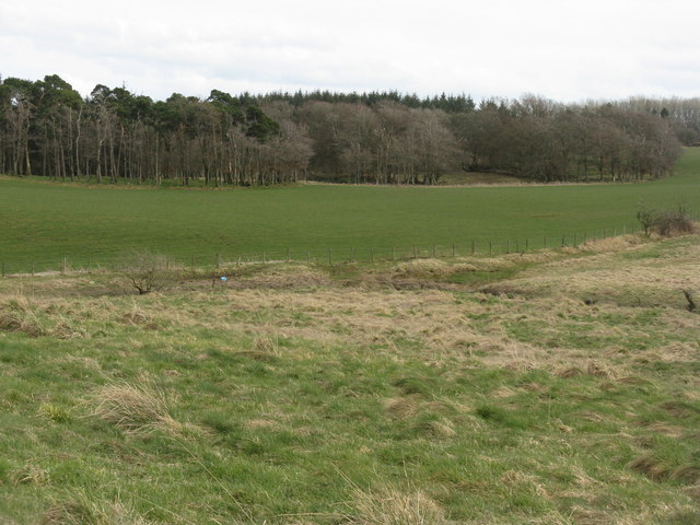
Image: © M J Richardson Taken: 21 Mar 2020
Looking across the Lin Mill Burn [the Falkirk - West Lothian boundary] to the wood.
Images are licensed for reuse under creativecommons.org/licenses/by-sa/2.0
Image Location
Latitude
55.923583
Longitude
-3.750201