Drumduff Windfarm
Introduction
The photograph on this page of Drumduff Windfarm by M J Richardson as part of the Geograph project.
The Geograph project started in 2005 with the aim of publishing, organising and preserving representative images for every square kilometre of Great Britain, Ireland and the Isle of Man.

There are currently over 7.5m images from over 14,400 individuals and you can help contribute to the project by visiting https://www.geograph.org.uk
Drumduff Windfarm
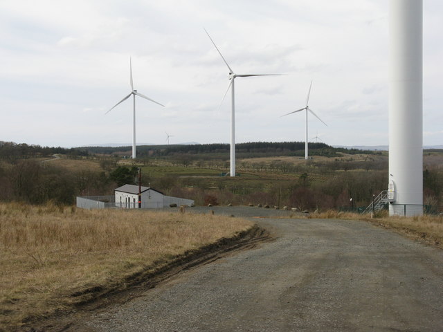
Image: © M J Richardson Taken: 21 Mar 2020
A wind turbine base and control room, and three turbines of the Burnhead windfarm.
Images are licensed for reuse under creativecommons.org/licenses/by-sa/2.0
Image Location
Latitude
55.908207
Longitude
-3.763427