Road sign and house at the bottom of Bostal Road
Introduction
The photograph on this page of Road sign and house at the bottom of Bostal Road by Ian Hawfinch as part of the Geograph project.
The Geograph project started in 2005 with the aim of publishing, organising and preserving representative images for every square kilometre of Great Britain, Ireland and the Isle of Man.

There are currently over 7.5m images from over 14,400 individuals and you can help contribute to the project by visiting https://www.geograph.org.uk
Road sign and house at the bottom of Bostal Road
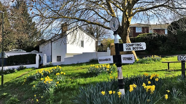
Image: © Ian Hawfinch Taken: 21 Mar 2020
'Bostal' is a local word for a steep track up the South Downs. There are several 'bostals' in Sussex.
Images are licensed for reuse under creativecommons.org/licenses/by-sa/2.0
Image Location
Latitude
50.883426
Longitude
-0.326347