South Anchor Mill, Dundee
Introduction
The photograph on this page of South Anchor Mill, Dundee by Chris Allen as part of the Geograph project.
The Geograph project started in 2005 with the aim of publishing, organising and preserving representative images for every square kilometre of Great Britain, Ireland and the Isle of Man.

There are currently over 7.5m images from over 14,400 individuals and you can help contribute to the project by visiting https://www.geograph.org.uk
South Anchor Mill, Dundee
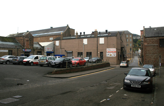
Image: © Chris Allen Taken: 21 Oct 2016
Seen from the rear on West Henderson's Wynd. A former jute mill of c1850 with a multi-storey block on Anchor Lane, an engine house (left of centre, one bay wide by two storeys) and a weaving shed (part is seen on the left, single storey). Further along West Henderson's Wynd on the left is Meadow Mill. Verdant Works museum is on the right opposite Anchor lane.
Images are licensed for reuse under creativecommons.org/licenses/by-sa/2.0
Image Location
Latitude
56.461388
Longitude
-2.98402