East Wrey Barton
Introduction
The photograph on this page of East Wrey Barton by Derek Harper as part of the Geograph project.
The Geograph project started in 2005 with the aim of publishing, organising and preserving representative images for every square kilometre of Great Britain, Ireland and the Isle of Man.

There are currently over 7.5m images from over 14,400 individuals and you can help contribute to the project by visiting https://www.geograph.org.uk
East Wrey Barton
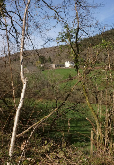
Image: © Derek Harper Taken: 16 Mar 2020
Glimpsed from the stretch of the Wray Valley Trail shown in Image], looking right across the valley. The hamlet at East Wrey (some of it is spelled "Wray") is either side of the A382. Image] gives a clearer view.
Images are licensed for reuse under creativecommons.org/licenses/by-sa/2.0
Image Location
Latitude
50.632114
Longitude
-3.724987