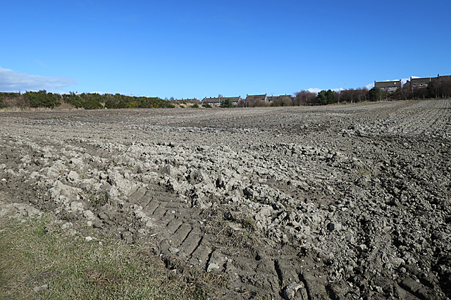
Ploughed Field
Introduction
The photograph on this page of Ploughed Field by Anne Burgess as part of the Geograph project.
The Geograph project started in 2005 with the aim of publishing, organising and preserving representative images for every square kilometre of Great Britain, Ireland and the Isle of Man.
There are currently over 7.5m images from over 14,400 individuals and you can help contribute to the project by visiting https://www.geograph.org.uk

Image: © Anne Burgess Taken: 20 Mar 2020
The transition here from city to countryside is quite abrupt. The houses on the skyline are on the other side of the dual carriageway that used to be the main A90 until the opening of the Aberdeen Western Peripheral Route, and behind the bank to their left is the top row of houses in the developments west of the road.

