Deeside Brae
Introduction
The photograph on this page of Deeside Brae by Anne Burgess as part of the Geograph project.
The Geograph project started in 2005 with the aim of publishing, organising and preserving representative images for every square kilometre of Great Britain, Ireland and the Isle of Man.

There are currently over 7.5m images from over 14,400 individuals and you can help contribute to the project by visiting https://www.geograph.org.uk
Deeside Brae
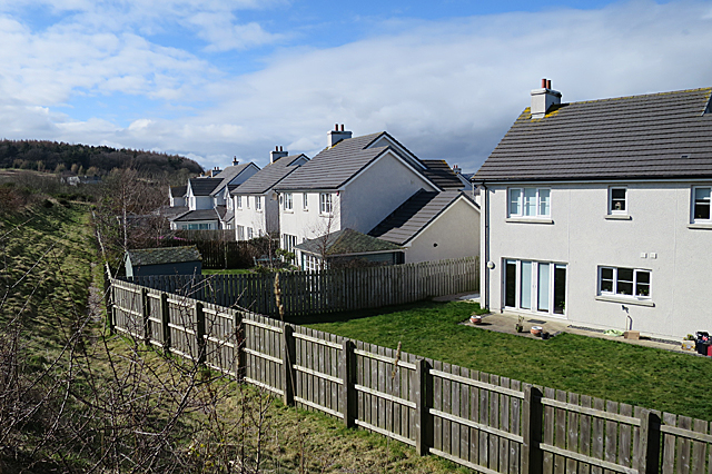
Image: © Anne Burgess Taken: 20 Mar 2020
These are the backs of house that front on Deeside Brae, or it might be Deeside View - the maps are slightly ambiguous. More to the point, the berm on the left has obliterated a mapped track that I planned to take, and it is planted with hawthorn, so I had to slither down and walk along outside the garden fences.
Images are licensed for reuse under creativecommons.org/licenses/by-sa/2.0
Image Location
Latitude
57.114921
Longitude
-2.119694