End of the Path
Introduction
The photograph on this page of End of the Path by Anne Burgess as part of the Geograph project.
The Geograph project started in 2005 with the aim of publishing, organising and preserving representative images for every square kilometre of Great Britain, Ireland and the Isle of Man.

There are currently over 7.5m images from over 14,400 individuals and you can help contribute to the project by visiting https://www.geograph.org.uk
End of the Path
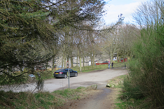
Image: © Anne Burgess Taken: 20 Mar 2020
The path through the Kincorth Hill Local Nature Reserve rejoins Nigg Way here. Nigg Way is closed to traffic. Half-hidden by the tree branches behind the parked car is an information board with maps of this end of the reserve.
Images are licensed for reuse under creativecommons.org/licenses/by-sa/2.0
Image Location
Latitude
57.112501
Longitude
-2.113247