Site of Inverkip Police station
Introduction
The photograph on this page of Site of Inverkip Police station by Thomas Nugent as part of the Geograph project.
The Geograph project started in 2005 with the aim of publishing, organising and preserving representative images for every square kilometre of Great Britain, Ireland and the Isle of Man.

There are currently over 7.5m images from over 14,400 individuals and you can help contribute to the project by visiting https://www.geograph.org.uk
Site of Inverkip Police station
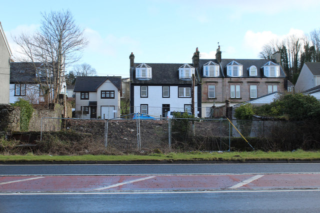
Image: © Thomas Nugent Taken: 18 Mar 2020
The police station was demolished in October 2019. It was last used as a police station in 2002. This is the rear of the property, viewed across the A78 road. See the same scene in January 2012 Image
Images are licensed for reuse under creativecommons.org/licenses/by-sa/2.0
Image Location
Latitude
55.908002
Longitude
-4.872086