Old Boundary Marker
Introduction
The photograph on this page of Old Boundary Marker by D Turner as part of the Geograph project.
The Geograph project started in 2005 with the aim of publishing, organising and preserving representative images for every square kilometre of Great Britain, Ireland and the Isle of Man.

There are currently over 7.5m images from over 14,400 individuals and you can help contribute to the project by visiting https://www.geograph.org.uk
Old Boundary Marker
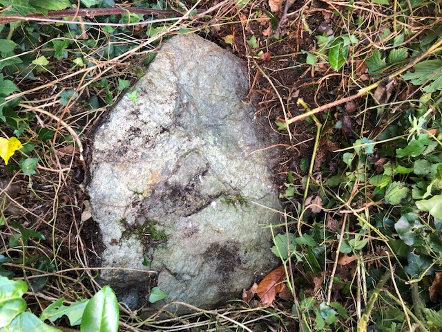
Image: © D Turner Taken: 15 Sep 2019
Parish boundary marker on west side of unclassified road west of Llanfaes, 30 metres north of the drive to Nant Farm. The parish boundary is unknown but it is now entirely in Beaumaris parish. Milestone Society National ID: ANG_BEAU04pb
Images are licensed for reuse under creativecommons.org/licenses/by-sa/2.0
Image Location
Latitude
53.281215
Longitude
-4.105997