British Waterways Information Board at Wilstone
Introduction
The photograph on this page of British Waterways Information Board at Wilstone by David Hillas as part of the Geograph project.
The Geograph project started in 2005 with the aim of publishing, organising and preserving representative images for every square kilometre of Great Britain, Ireland and the Isle of Man.

There are currently over 7.5m images from over 14,400 individuals and you can help contribute to the project by visiting https://www.geograph.org.uk
British Waterways Information Board at Wilstone
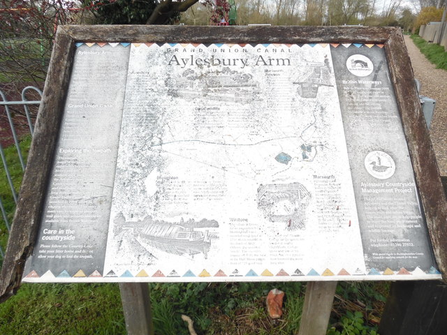
Image: © David Hillas Taken: 20 Mar 2020
Situated in Tring Road HP23 4PE, this information board is identical to the one at Startops End https://www.geograph.org.uk/photo/6387696 refers. The Aylesbury Arm of the Grand Union Canal is a short distance from this board.
Images are licensed for reuse under creativecommons.org/licenses/by-sa/2.0
Image Location
Latitude
51.819131
Longitude
-0.690461