Distant Bunker
Introduction
The photograph on this page of Distant Bunker by Chris Court as part of the Geograph project.
The Geograph project started in 2005 with the aim of publishing, organising and preserving representative images for every square kilometre of Great Britain, Ireland and the Isle of Man.

There are currently over 7.5m images from over 14,400 individuals and you can help contribute to the project by visiting https://www.geograph.org.uk
Distant Bunker
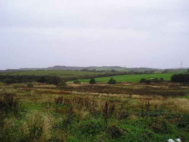
Image: © Chris Court Taken: 11 Oct 2005
Rough Land adjacent to a Kilbirnie Housing estate, looking west to grazing land on Boagside Farm and a bunker on Kilbirnie Golf Course.
Images are licensed for reuse under creativecommons.org/licenses/by-sa/2.0
Image Location
Latitude
55.745223
Longitude
-4.697085