Bonchurch Down and Ventnor
Introduction
The photograph on this page of Bonchurch Down and Ventnor by Crispin Purdye as part of the Geograph project.
The Geograph project started in 2005 with the aim of publishing, organising and preserving representative images for every square kilometre of Great Britain, Ireland and the Isle of Man.

There are currently over 7.5m images from over 14,400 individuals and you can help contribute to the project by visiting https://www.geograph.org.uk
Bonchurch Down and Ventnor
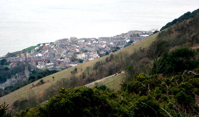
Image: © Crispin Purdye Taken: 18 Feb 2004
View south west from near the footpath and viewpoint at around the 230m contour on Bonchurch Down. Photograph emphasises the steep scarp slope of the chalk downs and the low gorse vegetation.
Images are licensed for reuse under creativecommons.org/licenses/by-sa/2.0
Image Location


Leaflet Map data © OpenStreetMap
Latitude
50.601627
Longitude
-1.193113