Carr Side Road
Introduction
The photograph on this page of Carr Side Road by Gordon Hatton as part of the Geograph project.
The Geograph project started in 2005 with the aim of publishing, organising and preserving representative images for every square kilometre of Great Britain, Ireland and the Isle of Man.

There are currently over 7.5m images from over 14,400 individuals and you can help contribute to the project by visiting https://www.geograph.org.uk
Carr Side Road
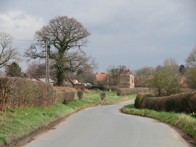
Image: © Gordon Hatton Taken: 17 Mar 2020
Country road leading into Great Ouseburn. The 'carr' in the road name refers to the poorly drained land to the right where the tiny Ouse Gill Beck flows gently towards its confluence with the Ure, which then becomes the Ouse.
Images are licensed for reuse under creativecommons.org/licenses/by-sa/2.0
Image Location
Latitude
54.051173
Longitude
-1.326227