Moat, abbey site, Chertsey
Introduction
The photograph on this page of Moat, abbey site, Chertsey by Robin Webster as part of the Geograph project.
The Geograph project started in 2005 with the aim of publishing, organising and preserving representative images for every square kilometre of Great Britain, Ireland and the Isle of Man.

There are currently over 7.5m images from over 14,400 individuals and you can help contribute to the project by visiting https://www.geograph.org.uk
Moat, abbey site, Chertsey
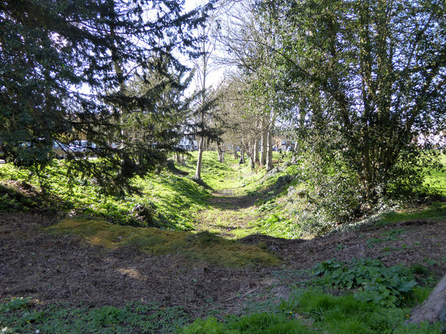
Image: © Robin Webster Taken: 16 Mar 2020
Part of the extensive scheduled Ancient Monument area of Chertsey Abbey, the most obvious signs of which are now substantial fragments of moat and linear fish ponds. The open areas are mostly public. This runs to the south of the playing field on the site, and is dry despite a recent period of rain. Other parts are in water.
Images are licensed for reuse under creativecommons.org/licenses/by-sa/2.0
Image Location
Latitude
51.393553
Longitude
-0.503141