The RAFA pub, Treorchy
Introduction
The photograph on this page of The RAFA pub, Treorchy by Jaggery as part of the Geograph project.
The Geograph project started in 2005 with the aim of publishing, organising and preserving representative images for every square kilometre of Great Britain, Ireland and the Isle of Man.

There are currently over 7.5m images from over 14,400 individuals and you can help contribute to the project by visiting https://www.geograph.org.uk
The RAFA pub, Treorchy
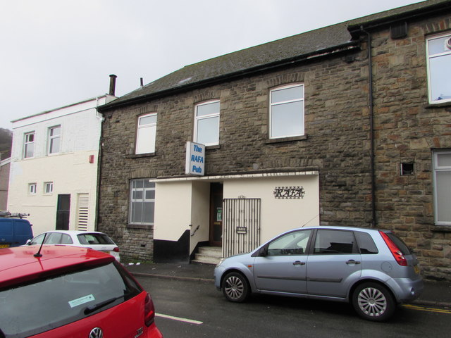
Image: © Jaggery Taken: 14 Mar 2020
The Clark Street side of the pub at 137 Bute Street viewed in March 2020. The name in view in 2012 was Treorchy RAFA branch. https://www.geograph.org.uk/photo/2790354
Images are licensed for reuse under creativecommons.org/licenses/by-sa/2.0
Image Location
Latitude
51.661522
Longitude
-3.510059