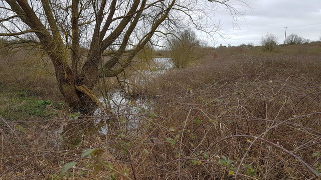
Thorpe-le-Soken: Lowest of the Thorpe Hall ponds
Introduction
The photograph on this page of Thorpe-le-Soken: Lowest of the Thorpe Hall ponds by Nigel Cox as part of the Geograph project.
The Geograph project started in 2005 with the aim of publishing, organising and preserving representative images for every square kilometre of Great Britain, Ireland and the Isle of Man.
There are currently over 7.5m images from over 14,400 individuals and you can help contribute to the project by visiting https://www.geograph.org.uk

Image: © Nigel Cox Taken: 15 Mar 2020
Old large scale Ordnance Survey maps show that historically there have always been 3 ponds on the Thorpe Hall estate, created by the impounding of the valley of a tributary of Holland Brook. This view is of the 4th, most downstream, pond which appears to be a modern addition, as it does not appear on either the 1:25,000 or 1:50,000 scale Ordnance Survey mapping that the Geograph website currently uses. It is however visible on the OS Open Street mapping and satellite imagery. This is the view from the public footpath that crosses the estate.

