Routwood Drive
Introduction
The photograph on this page of Routwood Drive by Jacqueline Barber as part of the Geograph project.
The Geograph project started in 2005 with the aim of publishing, organising and preserving representative images for every square kilometre of Great Britain, Ireland and the Isle of Man.

There are currently over 7.5m images from over 14,400 individuals and you can help contribute to the project by visiting https://www.geograph.org.uk
Routwood Drive
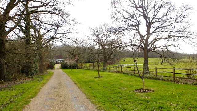
Image: © Jacqueline Barber Taken: 13 Mar 2020
Routwood house is ahead and the bridleway to Rout Farm veers left. Waterlogged area to the right after this record wet February.
Images are licensed for reuse under creativecommons.org/licenses/by-sa/2.0
Image Location
Latitude
51.015591
Longitude
-0.220655