Path up from Keady Mill to Bridge Street
Introduction
The photograph on this page of Path up from Keady Mill to Bridge Street by Sean Davis as part of the Geograph project.
The Geograph project started in 2005 with the aim of publishing, organising and preserving representative images for every square kilometre of Great Britain, Ireland and the Isle of Man.

There are currently over 7.5m images from over 14,400 individuals and you can help contribute to the project by visiting https://www.geograph.org.uk
Path up from Keady Mill to Bridge Street
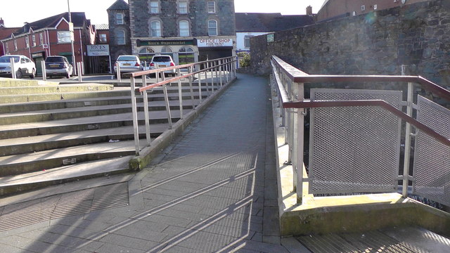
Image: © Sean Davis Taken: 15 Mar 2020
The ramp path up from Keady Mill to Bridge Street. There are a number of ways up from this point. This path is for pushchairs and disabled access, to the left are different steps, some steep and some not. To the right is the River Clea and the old mill wheel, next to Keady Mill. You can see the mishmash of steps and paths at https://www.geograph.org.uk/photo/6415521
Images are licensed for reuse under creativecommons.org/licenses/by-sa/2.0
Image Location
Latitude
54.24843
Longitude
-6.70447