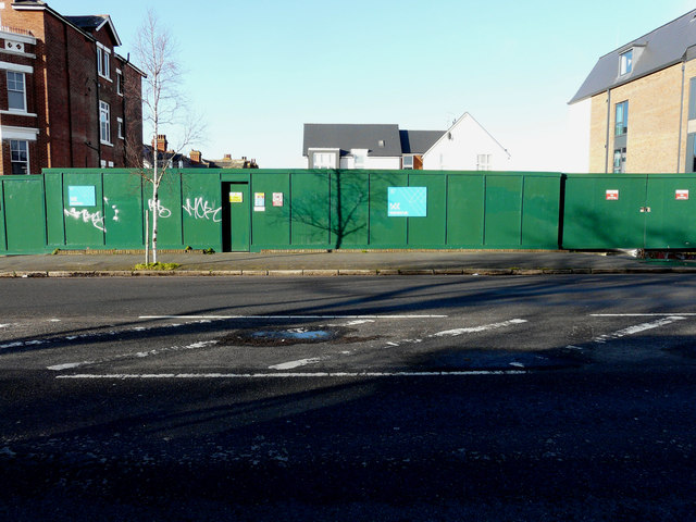
Building site, 54 & 56, Shorncliffe Road
Introduction
The photograph on this page of Building site, 54 & 56, Shorncliffe Road by John Baker as part of the Geograph project.
The Geograph project started in 2005 with the aim of publishing, organising and preserving representative images for every square kilometre of Great Britain, Ireland and the Isle of Man.
There are currently over 7.5m images from over 14,400 individuals and you can help contribute to the project by visiting https://www.geograph.org.uk

Image: © John Baker Taken: 1 Mar 2020
Planning permission was approved, with conditions, by Folkestone and Hythe District Council under application number Y15/0563/SH as a “section 73 application for the variation of conditions 4, 6, 21 and 29 of outline planning permission Y10/0077/SH (outline application for the construction of 127 dwellings (Class C3) and an 80 bedroom nursing home (Class C2) following the demolition of 52 Shorncliffe Road, together with associated access, parking and landscaping) in order to allow amendments to the approved layout, landscaping and the number of units (condition 4); samples of the proposed materials to be submitted prior to the commencement of development (condition 6); and minor re-wording of conditions 21 and 29 to reflect the commencement of the approved care home”. This was the Image in January 2018.

