Grantchester Meadows
Introduction
The photograph on this page of Grantchester Meadows by Nigel Mykura as part of the Geograph project.
The Geograph project started in 2005 with the aim of publishing, organising and preserving representative images for every square kilometre of Great Britain, Ireland and the Isle of Man.

There are currently over 7.5m images from over 14,400 individuals and you can help contribute to the project by visiting https://www.geograph.org.uk
Grantchester Meadows
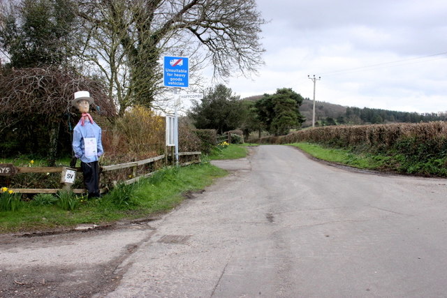
Image: © Nigel Mykura Taken: 6 Mar 2020
This is the location of a sizeable poultry farm behind the trees on the left. The scarecrow standing at the road junction is advertising a local Whist Drive.
Images are licensed for reuse under creativecommons.org/licenses/by-sa/2.0
Image Location
Latitude
50.888914
Longitude
-2.931587