St Matthews Church
Introduction
The photograph on this page of St Matthews Church by Sean Davis as part of the Geograph project.
The Geograph project started in 2005 with the aim of publishing, organising and preserving representative images for every square kilometre of Great Britain, Ireland and the Isle of Man.

There are currently over 7.5m images from over 14,400 individuals and you can help contribute to the project by visiting https://www.geograph.org.uk
St Matthews Church
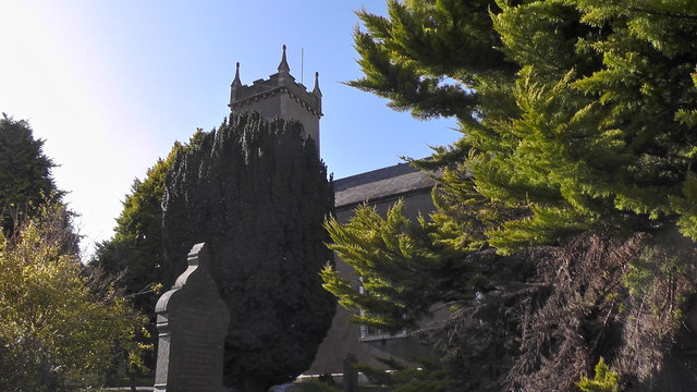
Image: © Sean Davis Taken: 15 Mar 2020
St Matthews Church of Ireland seen through trees from its driveway. The following is from a plaque on the wall near the main door - "Archbishop Robinson built St Matthew's Church at his own expense in 1775 and denoted silver to the church which is used to this day". To read the plaque see https://www.geograph.org.uk/photo/3626030
Images are licensed for reuse under creativecommons.org/licenses/by-sa/2.0
Image Location
Latitude
54.247547
Longitude
-6.708441