Keady Mill and Pedestrian Bridge
Introduction
The photograph on this page of Keady Mill and Pedestrian Bridge by Sean Davis as part of the Geograph project.
The Geograph project started in 2005 with the aim of publishing, organising and preserving representative images for every square kilometre of Great Britain, Ireland and the Isle of Man.

There are currently over 7.5m images from over 14,400 individuals and you can help contribute to the project by visiting https://www.geograph.org.uk
Keady Mill and Pedestrian Bridge
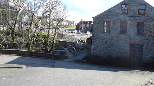
Image: © Sean Davis Taken: 15 Mar 2020
The derelict old Keady Mill and the pedestrian bridge over the River Clea. The mill was recently used as a heritage centre and restaurant, but closed down a few years ago.
Images are licensed for reuse under creativecommons.org/licenses/by-sa/2.0
Image Location
Latitude
54.2486
Longitude
-6.704465