Ropetackle development
Introduction
The photograph on this page of Ropetackle development by Ian Capper as part of the Geograph project.
The Geograph project started in 2005 with the aim of publishing, organising and preserving representative images for every square kilometre of Great Britain, Ireland and the Isle of Man.

There are currently over 7.5m images from over 14,400 individuals and you can help contribute to the project by visiting https://www.geograph.org.uk
Ropetackle development
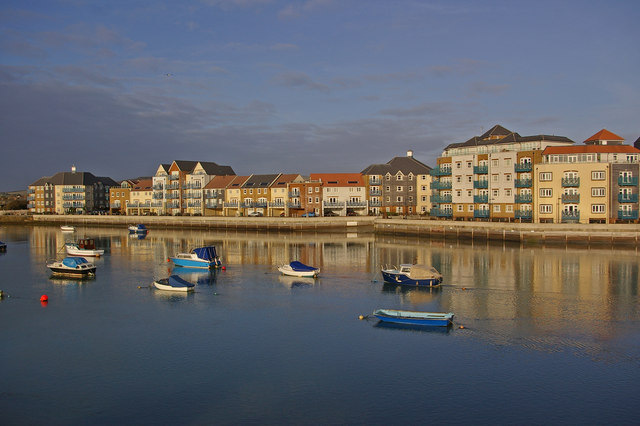
Image: © Ian Capper Taken: 26 Dec 2007
Ropetackle is a new mixed use development overlooking the River Adur as part of the Shoreham maritime regeneration scheme.
Images are licensed for reuse under creativecommons.org/licenses/by-sa/2.0
Image Location
Latitude
50.833295
Longitude
-0.280425