The Black Path
Introduction
The photograph on this page of The Black Path by Sean Davis as part of the Geograph project.
The Geograph project started in 2005 with the aim of publishing, organising and preserving representative images for every square kilometre of Great Britain, Ireland and the Isle of Man.

There are currently over 7.5m images from over 14,400 individuals and you can help contribute to the project by visiting https://www.geograph.org.uk
The Black Path
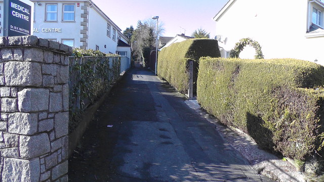
Image: © Sean Davis Taken: 1 Mar 2020
Looking up the black path from Tassagh Road. Known locally as "the black pad", this is a short cut between Tassagh Road and Armagh Road in Keady.
Images are licensed for reuse under creativecommons.org/licenses/by-sa/2.0
Image Location
Latitude
54.252922
Longitude
-6.700279