Court 2 prehistoric stone row
Introduction
The photograph on this page of Court 2 prehistoric stone row by Sandy Gerrard as part of the Geograph project.
The Geograph project started in 2005 with the aim of publishing, organising and preserving representative images for every square kilometre of Great Britain, Ireland and the Isle of Man.

There are currently over 7.5m images from over 14,400 individuals and you can help contribute to the project by visiting https://www.geograph.org.uk
Court 2 prehistoric stone row
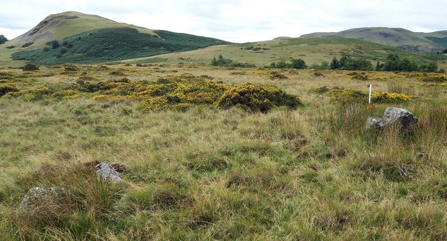
Image: © Sandy Gerrard Taken: 22 Aug 2018
A probable single prehistoric stone row measuring 8.7m long, including 4 medium and large-sized stones. All of the stones are recumbent and the row is orientated ENE to WSW. https://stonerows.wordpress.com/gazetteer/region/mid-wales/court-stone-row-2/
Images are licensed for reuse under creativecommons.org/licenses/by-sa/2.0
Image Location
Latitude
52.203239
Longitude
-3.334465