Bell Close, Horfield
Introduction
The photograph on this page of Bell Close, Horfield by Derek Harper as part of the Geograph project.
The Geograph project started in 2005 with the aim of publishing, organising and preserving representative images for every square kilometre of Great Britain, Ireland and the Isle of Man.

There are currently over 7.5m images from over 14,400 individuals and you can help contribute to the project by visiting https://www.geograph.org.uk
Bell Close, Horfield
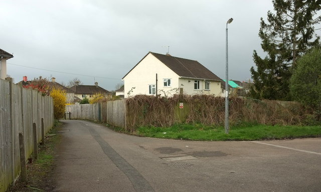
Image: © Derek Harper Taken: 7 Mar 2020
The houses in the cul-de-sac are off to the right; the houses ahead are on Bishop Manor Road.
Images are licensed for reuse under creativecommons.org/licenses/by-sa/2.0
Image Location
Latitude
51.492885
Longitude
-2.590658