Tumulus in field beside the A39
Introduction
The photograph on this page of Tumulus in field beside the A39 by John Duncan as part of the Geograph project.
The Geograph project started in 2005 with the aim of publishing, organising and preserving representative images for every square kilometre of Great Britain, Ireland and the Isle of Man.

There are currently over 7.5m images from over 14,400 individuals and you can help contribute to the project by visiting https://www.geograph.org.uk
Tumulus in field beside the A39
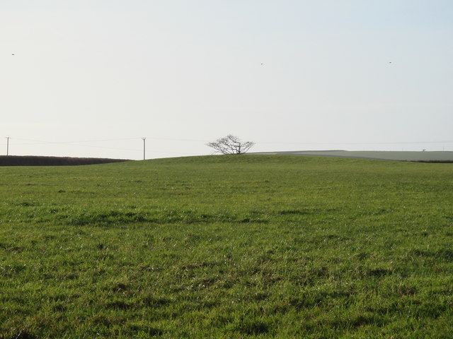
Image: © John Duncan Taken: 26 Dec 2007
The tumulus is the mound in the middle distance - the centre of the mound is in line with the tree on the field boundary behind the tumulus.
Images are licensed for reuse under creativecommons.org/licenses/by-sa/2.0
Image Location


Leaflet Map data © OpenStreetMap
Latitude
50.868051
Longitude
-4.494591