Looking along the Gut
Introduction
The photograph on this page of Looking along the Gut by Robert Graham as part of the Geograph project.
The Geograph project started in 2005 with the aim of publishing, organising and preserving representative images for every square kilometre of Great Britain, Ireland and the Isle of Man.

There are currently over 7.5m images from over 14,400 individuals and you can help contribute to the project by visiting https://www.geograph.org.uk
Looking along the Gut
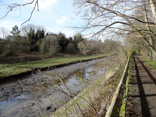
Image: © Robert Graham Taken: 9 Mar 2020
Willington Gut runs along the Dene at Willington into the River Tyne a short distance from here. The river is tidal so is this stretch of the stream. The tide is low in this picture. This whole area was a post industrial derelict site a few years ago. It was all cleared and landscaped in the 1980's. Waggon loads of rubbish and scrap were cleared from the stream, to create the present pleasing view.
Images are licensed for reuse under creativecommons.org/licenses/by-sa/2.0
Image Location
Latitude
54.994893
Longitude
-1.511992