
National Cycle Route 1 Victoria Crescent, Cullercoats
Introduction
The photograph on this page of National Cycle Route 1 Victoria Crescent, Cullercoats by Geoff Holland as part of the Geograph project.
The Geograph project started in 2005 with the aim of publishing, organising and preserving representative images for every square kilometre of Great Britain, Ireland and the Isle of Man.

There are currently over 7.5m images from over 14,400 individuals and you can help contribute to the project by visiting https://www.geograph.org.uk
National Cycle Route 1 Victoria Crescent, Cullercoats
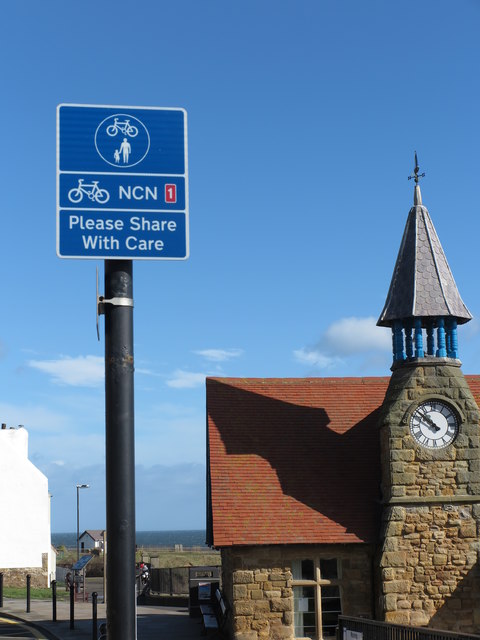
Image: © Geoff Holland Taken: 12 Mar 2020
National Cycle Route 1 is part of the National Cycle Network, and is a 2,769 km-long cycle-path running from Dover to Shetland. As it passes through North Tyneside it hugs, as best it can, the North Sea coastline. At this point, it is also part of the England Coast Path which, when fully completed, will be the longest waymarked and managed coastal path in the world. In the background is the 1879-opened Watch House see https://www.geograph.org.uk/photo/1635130 for further details. For a selection of detailed free to download walking routes in the area visit www.northtynesidewalks.co.uk
Images are licensed for reuse under creativecommons.org/licenses/by-sa/2.0
Image Location

Latitude
55.035704
Longitude
-1.432169