Lodge Lane
Introduction
The photograph on this page of Lodge Lane by Nigel Mykura as part of the Geograph project.
The Geograph project started in 2005 with the aim of publishing, organising and preserving representative images for every square kilometre of Great Britain, Ireland and the Isle of Man.

There are currently over 7.5m images from over 14,400 individuals and you can help contribute to the project by visiting https://www.geograph.org.uk
Lodge Lane
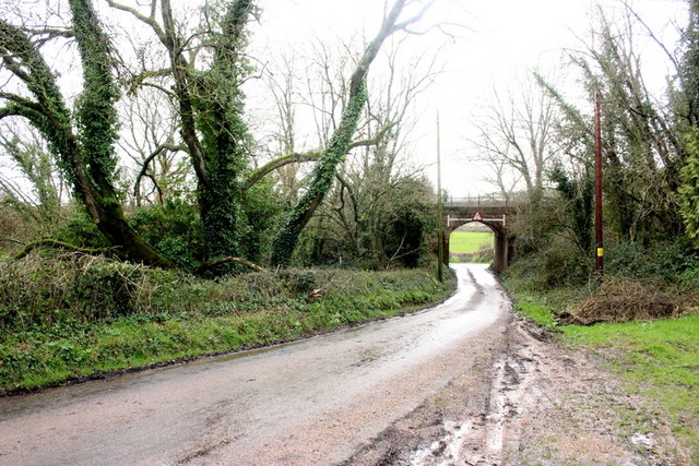
Image: © Nigel Mykura Taken: 29 Feb 2020
This is Lodge lane close to Pennyhyes farm. The railway bridge carries the Axminster to Honiton Railway line over the lane. The bridge is just on the other side of the grid line in grid square SY2496
Images are licensed for reuse under creativecommons.org/licenses/by-sa/2.0
Image Location
Latitude
50.767693
Longitude
-3.077505