Pond by Aylesbury Road, Mobwell (1)
Introduction
The photograph on this page of Pond by Aylesbury Road, Mobwell (1) by Christina Hillas as part of the Geograph project.
The Geograph project started in 2005 with the aim of publishing, organising and preserving representative images for every square kilometre of Great Britain, Ireland and the Isle of Man.

There are currently over 7.5m images from over 14,400 individuals and you can help contribute to the project by visiting https://www.geograph.org.uk
Pond by Aylesbury Road, Mobwell (1)
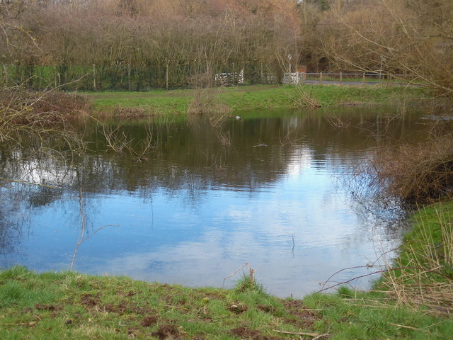
Image: © Christina Hillas Taken: 23 Feb 2020
This photo shows the pond looking towards Aylesbury Road in Mobwell HP16 9AX. It is at the north end of the River Misbourne which flows through south Buckinghamshire to the River Colne near Denham, TQ0586 refers. Recent heavy rain has increased the water level of this pond.
Images are licensed for reuse under creativecommons.org/licenses/by-sa/2.0
Image Location
Latitude
51.710134
Longitude
-0.71315