River Misbourne at Boug's Meadow
Introduction
The photograph on this page of River Misbourne at Boug's Meadow by Christina Hillas as part of the Geograph project.
The Geograph project started in 2005 with the aim of publishing, organising and preserving representative images for every square kilometre of Great Britain, Ireland and the Isle of Man.

There are currently over 7.5m images from over 14,400 individuals and you can help contribute to the project by visiting https://www.geograph.org.uk
River Misbourne at Boug's Meadow
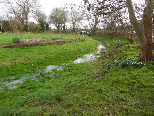
Image: © Christina Hillas Taken: 23 Feb 2020
This photo shows the river Misbourne at Boug's Meadow with Link Road (A4128) parked with cars in the distance. This river bed is usually dry here but due to recent rain falling, river water can now be seen. Snowdrops have come out by the tree on the right of the photo.
Images are licensed for reuse under creativecommons.org/licenses/by-sa/2.0
Image Location
Latitude
51.705027
Longitude
-0.706638