Castle Canyke
Introduction
The photograph on this page of Castle Canyke by Phil Williams as part of the Geograph project.
The Geograph project started in 2005 with the aim of publishing, organising and preserving representative images for every square kilometre of Great Britain, Ireland and the Isle of Man.

There are currently over 7.5m images from over 14,400 individuals and you can help contribute to the project by visiting https://www.geograph.org.uk
Castle Canyke
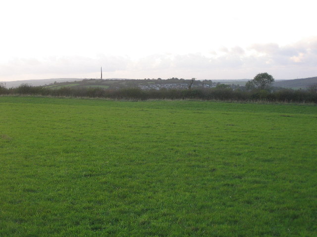
Image: © Phil Williams Taken: 8 Oct 2005
A view across the northwest quadrant of Castle Canyke, Bodmin. the bank and ditch earthwork can be seen along the hedge bordering the minor road. Beacon Hill with the Gilbert monument can be seen on the horizon.
Images are licensed for reuse under creativecommons.org/licenses/by-sa/2.0
Image Location


Leaflet Map data © OpenStreetMap
Latitude
50.460689
Longitude
-4.699412