Hinton Martell, stile
Introduction
The photograph on this page of Hinton Martell, stile by Mike Faherty as part of the Geograph project.
The Geograph project started in 2005 with the aim of publishing, organising and preserving representative images for every square kilometre of Great Britain, Ireland and the Isle of Man.

There are currently over 7.5m images from over 14,400 individuals and you can help contribute to the project by visiting https://www.geograph.org.uk
Hinton Martell, stile
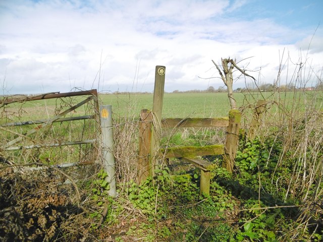
Image: © Mike Faherty Taken: 12 Mar 2020
At the beginning of a path from Woodcutts Lane across farmland to Gaunt's Common.
Images are licensed for reuse under creativecommons.org/licenses/by-sa/2.0
Image Location
Latitude
50.841913
Longitude
-1.974952