Coast at The Salt House
Introduction
The photograph on this page of Coast at The Salt House by Derek Harper as part of the Geograph project.
The Geograph project started in 2005 with the aim of publishing, organising and preserving representative images for every square kilometre of Great Britain, Ireland and the Isle of Man.

There are currently over 7.5m images from over 14,400 individuals and you can help contribute to the project by visiting https://www.geograph.org.uk
Coast at The Salt House
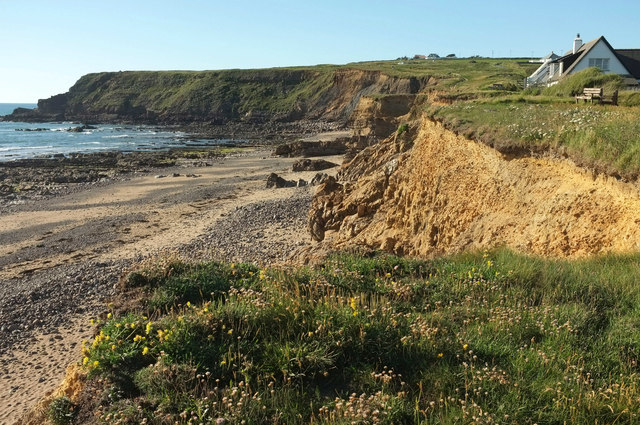
Image: © Derek Harper Taken: 21 Jun 2019
Looking the other way from Image], and making clear the reason for the inland diversion of the coast path (see Image]), as parts of footpath 525 1/8 have vanished. "In the 1920’s the Old Salt House existed and a road ran in front of it" https://www.cornwall.gov.uk/media/28276846/widemouth-bay.pdf . See also Image
Images are licensed for reuse under creativecommons.org/licenses/by-sa/2.0
Image Location
Latitude
50.797159
Longitude
-4.556833