Coast path near The Salt House
Introduction
The photograph on this page of Coast path near The Salt House by Derek Harper as part of the Geograph project.
The Geograph project started in 2005 with the aim of publishing, organising and preserving representative images for every square kilometre of Great Britain, Ireland and the Isle of Man.

There are currently over 7.5m images from over 14,400 individuals and you can help contribute to the project by visiting https://www.geograph.org.uk
Coast path near The Salt House
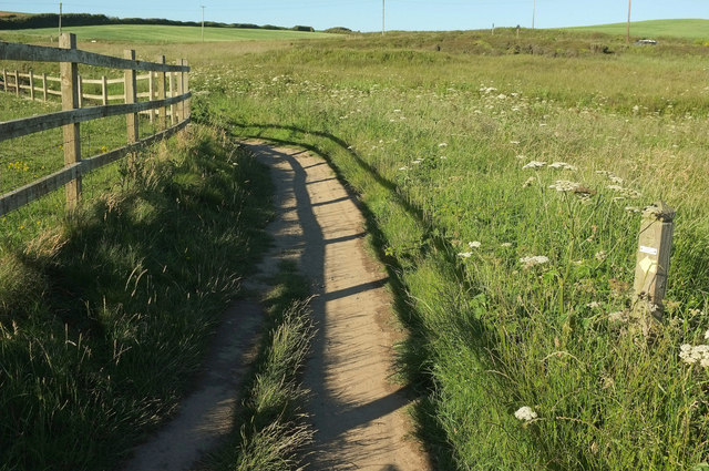
Image: © Derek Harper Taken: 21 Jun 2019
This bit of the coast path takes an inland loop to skirt around The Salt House along 525 1/2. Unfortunately, although footpath 525 1/8 keeps to the coastal edge seaward of the cottages and remains on maps, it has been eroded - see Image] and Image
Images are licensed for reuse under creativecommons.org/licenses/by-sa/2.0
Image Location
Latitude
50.796636
Longitude
-4.556095